|
entrance at Oxford Street & Bishop Street
Grayville, Illinois
Managed by the City of Grayville, Illinois, this access
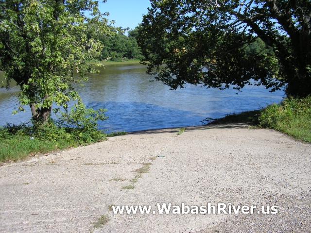
site has a paved boat ramp that is quite steep. The parking
area is gravel/dirt and has trail access.
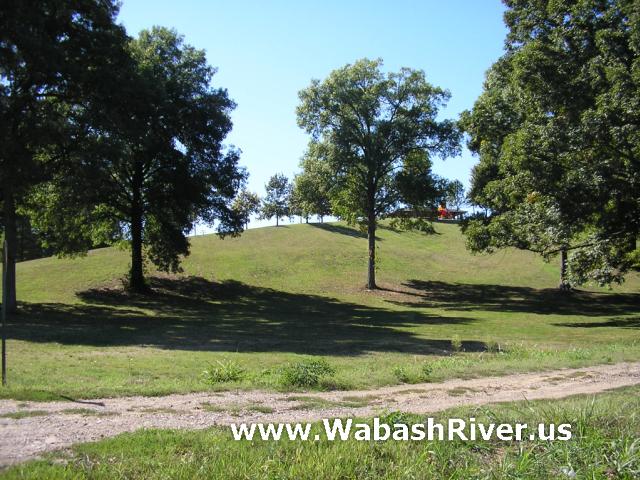
A walk up the big hill brings you to restrooms, a picnic
pavilion and playground. The park also has a ball field
and swimming pool. A road at the south end of the park
leads to a small (private?) campground with electric hookup.
Grayville, Illinois had been on the main channel,
at the tip of a 4-mile north/south bend in the river.
However, a flood in 1985 caused the river to change course,
creating a cut-off and leaving Grayville 2 miles from
the current river channel. There is still standing water
in the loop to Grayville (connecting it to the Wabash),
but it is only accessible to small craft. Also, it appears
that the Grayville cut-off "loop" may only be
an actual loop in high water. It appears that both Grayville
ramps may only be accessible by taking the western channel
of the loop from the Wabash, and the other ramp may require
really high water to reach. (If you know more about this,
please contact us.)
We personally paddled a canoe from this access point
to New Harmony on August 16, 2008 at a flow of about 15,000
cfs (or about 5.3 ft) according to the Mt. Carmel, IL
gaging station. We had no problem reaching the main river
channel from this access point, but the other Grayville
access site appeared completely cut off.
From the river you must apparenty take the Grayville
cut-off to the right (north) side of the current main
river channel (near a now defunct oil pump). The ramp
is on the left bank after a mile or so.
ACCESS POINT PHOTOS
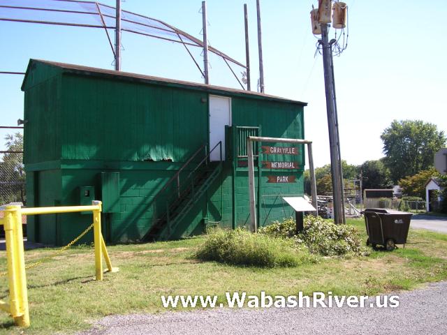
Turn here and follow the road past the
ball field and down the hill to the boat ramp...
Parking area by the boat ramp...
Additional parking...
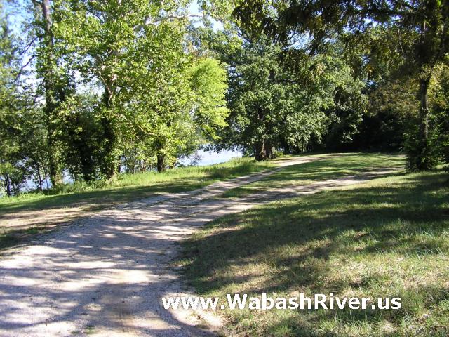
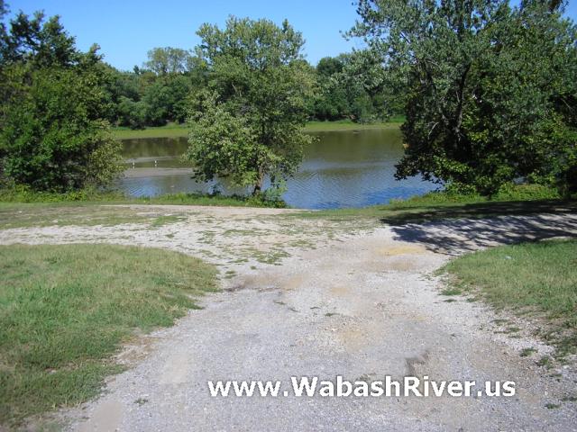
Looking north (formerly upstream) toward
the North & Water Street access site (apparently not
accessible at this water level)...

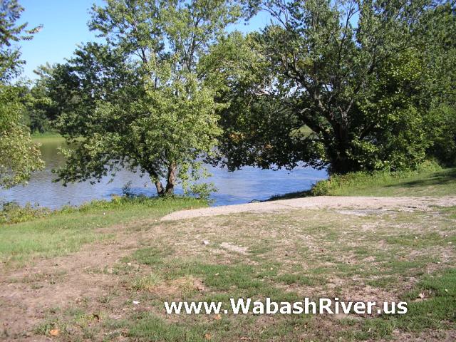
Looking downstream, toward the Wabash
River...

Looking up the hill to the playground
and restrooms...
|