| |
Grayville City Park Access Area
North Street & Water Street
Grayville, Illinois
Managed by the City of Grayville, Illinois, this site
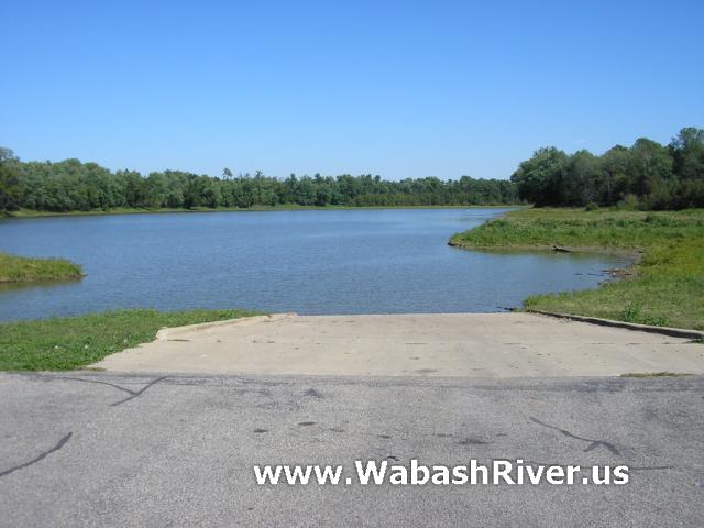
has a paved boat ramp.
This acces site also has a large paved turnaround and
parking area. Another gravel parking area is right next
to it. The access site also has historic markers, trash
cans, and restrooms. It is an easy walk up the hill for
food, supplies and fuel.
Grayville, Illinois had been on the main channel,
at the tip of a 4-mile north/south bend in the river.
However, a flood in 1985 caused the river to change course,
creating a cut-off and leaving Grayville 2 miles from
the current river channel. There is still standing water
in the loop to Grayville (connecting it to the Wabash),
but we are told it is only accessible to small craft.
Also, it appears that the Grayville cut-off "loop"
may only be an actual loop in higher water. It appears
that both ramps may only be accessible by taking the western
channel of the loop from the Wabash, and the main boat
ramp at North & Water Streets may require higher water
to reach. (This access site did not appear accessible
when we visited at a river level of about 7,000 cfs or
3 1/2 feet according to the Mt. Carmel gaging station.)
(If you have information about this, please contact
us.)
We personally visited this access site on August
16, 2008, with the river at a flow of about 15,000 cfs
(or about 5.3 ft) according to the Mt. Carmel, IL gaging
station, and the access site appeared completely cut off.
However, we had no trouble reaching the main river channel
paddling a canoe from the Grayville
Memorial Park access site to New Harmony.
From the river you must take the Grayville cut-off to
the right (north) side of the current main river channel
(near a now defunct oil pump). You will pass the Grayville
Memorial Park ramp on the left bank after a mile or so.
The North & Water Street ramp is further north, also
on the left bank, but this ramp may only be accessible
in high water.
ACCESS POINT PHOTOS
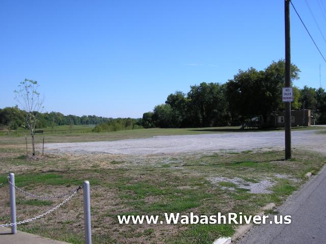
Additional parking...
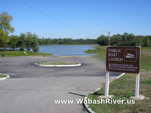
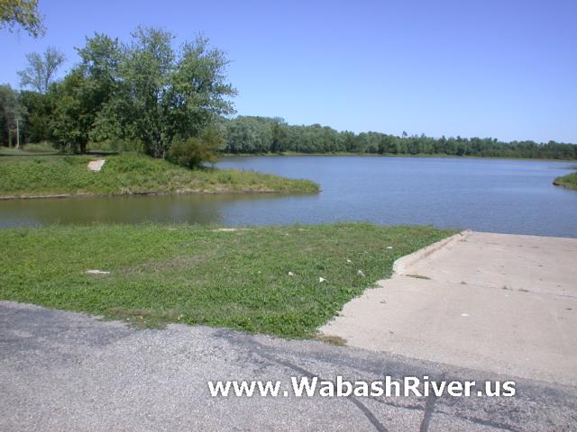
Looking out to the old Wabash River channel
(now a cut-off)...
A creek enters just to the left of the
boat ramp...
|
|